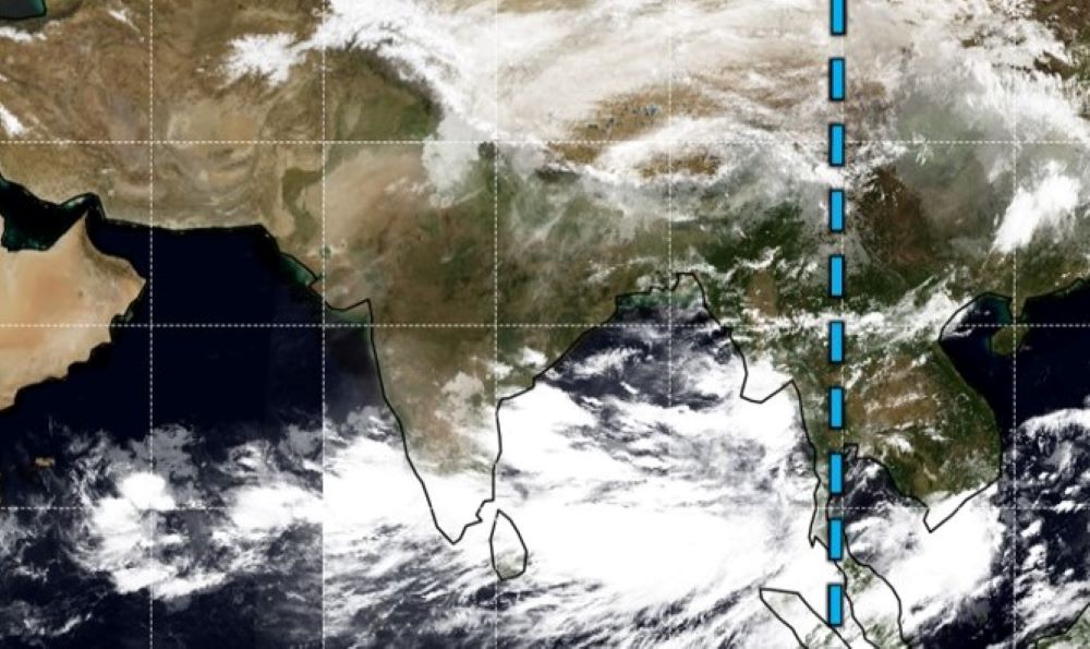
New Delhi, Cyclone Yaas is heading towards the Bengal-Orissa coast. It could make land fall between Digha and Paradeep on Wednesday evening.
The strongest cyclone in the North Bay can have a speed of 120 to 160 kmph. Meteorologists believe that the cyclone may cause more damage as it is much more widespread.
The meteorological department said the deep depression formed in the East-Central Bay of Bengal, has turned into a very deep depression today and is expected to cross the coast between Paradwip and Sagar Island on Wednesday evening.
The meteorological department said there was a risk of tidal surges of up to 20 feet during the cyclone. The rains will start from Monday.
The cyclone will hit the North Bay coast from Wednesday morning. It may cross the North Bay on Wednesday and hit the Bengal-Orissa coast.
There is Chance of heavy rains and storms across the Gangetic West Bengal including Kolkata. The meteorological office has banned fishermen from going to sea from this evening.
The state administration is fully geared up to deal with the cyclone. The Unified Command Agency will start work from tomorrow.
Army-NDRF-BSNL officials along with Public Works Department and CESC officials have formed a special team to deal with the disaster.
On the other hand, various cyclone centers have also been set up in coastal areas. Already many people have been evacuated to safer places. Today, the district collector of East Midnapore held a review meeting to deal with the cyclone.
A red may be issued in the area from Monday. Coastal areas are being monitored by drones and 32 NDRF teams have already reached the state.


