New Delhi, According to the National Weather Forecasting Centre of the India Meteorological Department (IMD) Significant Weather Features are as follows:
The northern Limit of southwest monsoon (NLM) continues to pass through Lat. 26°N and Long. 70°E,
Barmer, Bhilwara, Dholpur, Aligarh, Meerut, Ambala and Amritsar.
Prevailing meteorological conditions, large scale atmospheric features and the forecast wind pattern by dynamical models suggest that no favourable conditions are likely to develop for further advance of southwest monsoon into remaining parts of Rajasthan, West Uttar Pradesh, Haryana, Chandigarh & Delhi and Punjab during next 5 days.
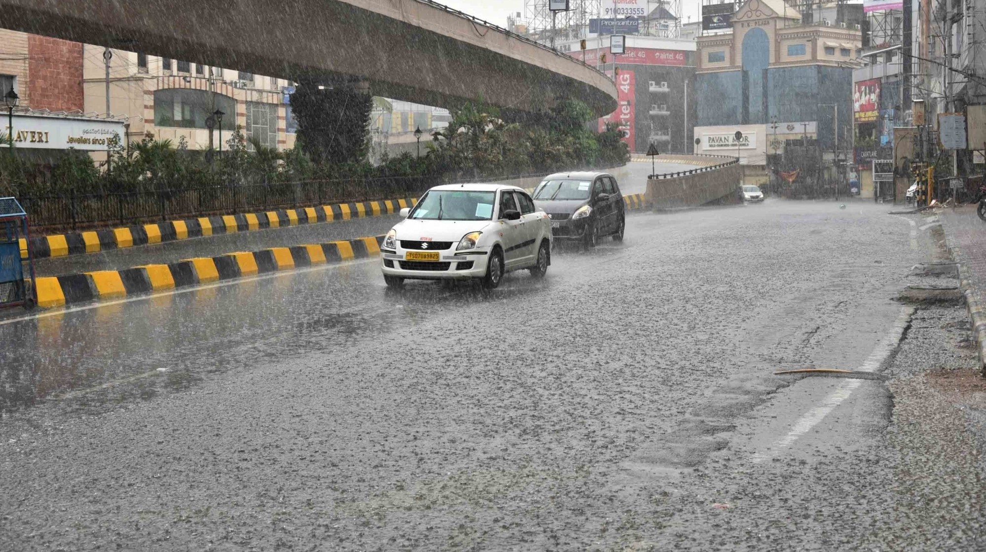
Hence, subdued rainfall activity is very likely to continue to prevail over Northwest, Central and Western parts of Peninsular India during next 5-6 days. Isolated and scattered thunderstorm activity accompanied with lightning & rainfall is also likely over these regions during this period.
As predicted, Heat Wave conditions has abated from the plains of Northwest India with occurrence of only isolated heat wave over Haryana yesterday. Yesterday, Fairly widespread rainfall has occurred over Punjab, Haryana, Delhi and adjoining parts of West Uttar Pradesh due to a Western Disturbance bringing respite from the prevailing Heat Wave conditions.
Maximum Temperatures over the plains of Northwest India are likely to fall by 3-4°C today and no significant change is likely thereafter. Subsequently, no heat wave conditions are likely over the region during next 5 days.
Under the influence of strong moist southwesterly winds at lower tropospheric levels from
Bay of Bengal to northeast & adjoining east India and a trough at mean sea level from Northwest
Rajasthan to Nagaland
Fairly widespread to widespread rainfall very likely over Bihar, Sub-Himalayan West Bengal & Sikkim, Arunachal Pradesh and Assam & Meghalaya during next 5 days.
Isolated heavy to very heavy rainfall very likely over Bihar, Assam & Meghalaya and Sub-Himalayan West Bengal & Sikkim during next 5 days.
Moderate to severe thunderstorm accompanied by frequent cloud to ground lightning very likely over Bihar, Jharkhand, north Chhattisgarh and Gangetic West Bengal during next 24 hours. This may cause injuries leading to casualties to
people and animals staying outdoors.